 |
 |
|
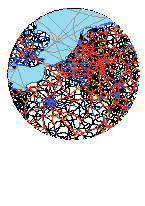
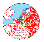
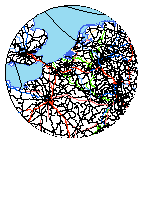
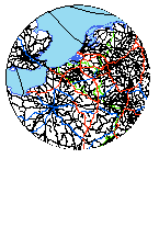
RRG GIS DatabaseTransport networks - Available transport datasetsThe transport network layers form the core part of the RRG GIS Database. They comprise roads and railway lines, railway stations (including intercity train stations, high-speed train stations, regional and local train stations), inland waterways and shipping routes, inland ports and seaports, and airports and flight networks, as well as transport terminals and intermodal transshipment facilities for the whole of Europe.There are one road network layer available, two railway layers (railway lines, and railway stations), four different waterway layers (the overall inland waterways and shipping routes layer, plus individual layers for inland ports and seaports, inland waterways and inland ports, and shipping routes and seaports), one airport layer, one flight network layer, and one layer representing transport terminals and intermodal transhipment facilities. In addition there is also one layer representing the travel analysis districts for Germany. One common feature to all layers is that they incorporate information on the TEN and TINA programmes of the European Union, as laid down in various official EU documents, including the full outline plans until 2020. Also, all relevant national outline plans are coded in the road and rail networks, providing network projections into the future until the year 2030. Similarly, the history of the road and railway networks since 1970 is coded as well, giving us the possibility to provide road and railway networks for various points in time (1970-2030). As an example, following are sample maps illustrating the development of the motorways in Germany in 1950, 1975 and 2000, together with a animation showing the motorway development since 1953.
Development of German motorways 1935-2007 (approx. 670 KB) Moreover, the road and railway layers already include functional access links at NUTS-3 basis used for transport modelling purposes (i.e. to link centroids/traffic analyses zones to the networks), and the waterway network layers include functional port access links for the same purpose. These functional links can be used to assign specific access impedances, link loads, time penalties or any other information required to the networks. The following RRG GIS Database description gives comprehensive information on the structure of the layers and attributes assigned to them.
RRG GIS Database contents:General informationTransport networks Available transport datasets Geography Interaction data and regional data |
||||||||||
|
||||||||||
